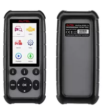
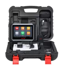
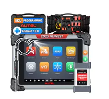
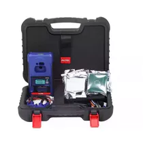
产品描述
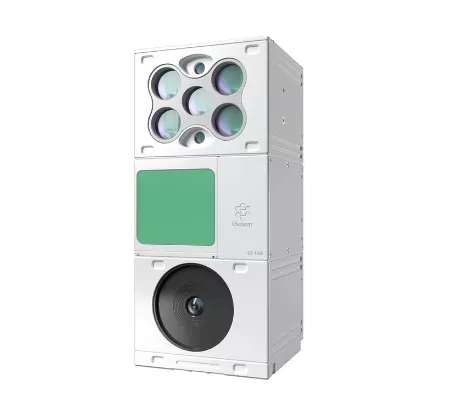
LiDAR Scanning System Application for 3D Surveying and Mapping
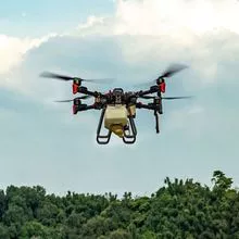
GS-100E is a UAV measurement system independently developed by Geosun Navigation. It highly integrates laser scanner, GNSS satellite positioning system, INS inertial navigation system and multispectral camera, to meet the needs of different industries such as agricultural condition monitoring, water-saving irrigation, resource survey, agricultural condition monitoring, river ecology, disaster level monitoring, target identification, aerial work, regional mapping, etc., especially in the field of agricultural surveys.
- 无人机
- 无人及配件
- 雷达
- 硬件
- 导航
- 监测
- 发动机
- 螺旋桨
- 红外线
- 摄像头
产能:
未通知
运输时间表:
根据订单的规模
Incoterms:
未通知包装明细:
未通知
更多关于
Shenzhen Nuobashi Trading Co.,Ltd
10-50
员工
未通知
100%
% 出口销售额
Year
成立年份
业务类型
- Industry / Manufacturer
- Distributor / Wholesaler
关键词
- 半导体
- 汽车诊断仪
- 无人机
- 示波器
- 电子元器件
联系方式和位置
-
Weili ********
-
+86 1********
-
深圳 / | 中国

