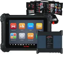
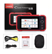
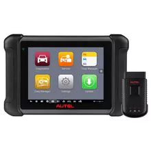
产品描述
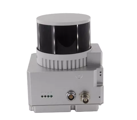
The UAV LiDAR System is a commercial drone surveying solution designed to provide accurate and long-range data mapping capabilities. With the UAV LiDAR System, users can benefit from its powerful combination of long-range, low power consumption, and onboard data storage. It offers up to 10 km range, low power consumption, extended flight time, and high accuracy data collection capabilities. Utilizing LiDAR technology, the UAV LiDAR System provides users with a comprehensive surveying solution for all types of applications such as commercial drone surveying, engineering surveys, and land surveys. With its onboard data storage capabilities, users can store and analyze data quickly and easily. All this makes the UAV LiDAR System an ideal solution for those looking for a comprehensive and reliable commercial drone surveying solution.
- 无人机
- 无人及配件
- 雷达
- 硬件
- 导航
- 监测
- 发动机
- 螺旋桨
- 红外线
- 摄像头
产能:
未通知
运输时间表:
根据订单的规模
Incoterms:
未通知包装明细:
未通知
更多关于
Shenzhen Nuobashi Trading Co.,Ltd
10-50
员工
未通知
100%
% 出口销售额
Year
成立年份
业务类型
- Industry / Manufacturer
- Distributor / Wholesaler
关键词
- 半导体
- 汽车诊断仪
- 无人机
- 示波器
- 电子元器件
联系方式和位置
-
Weili ********
-
+86 1********
-
深圳 / | 中国

